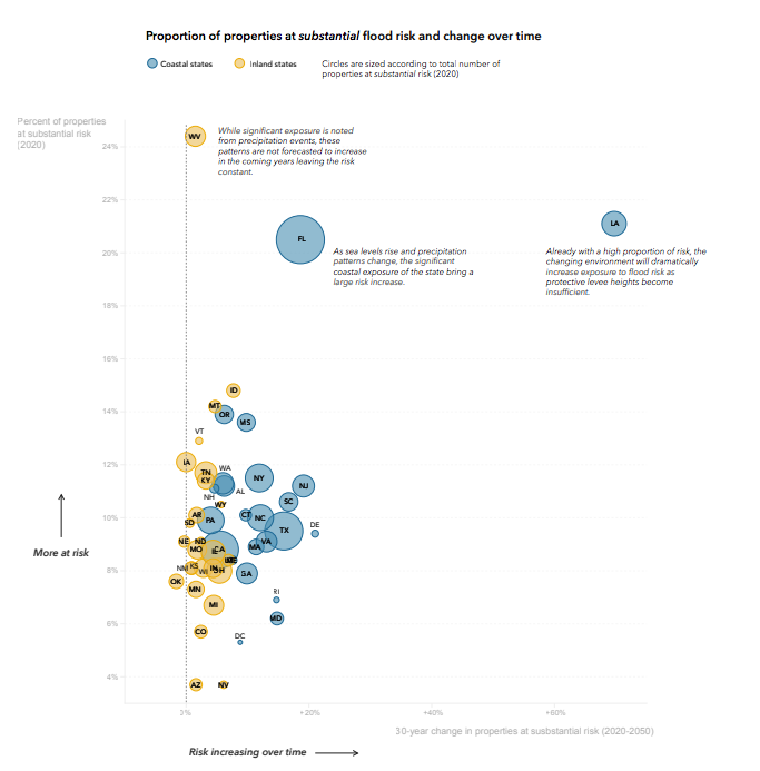
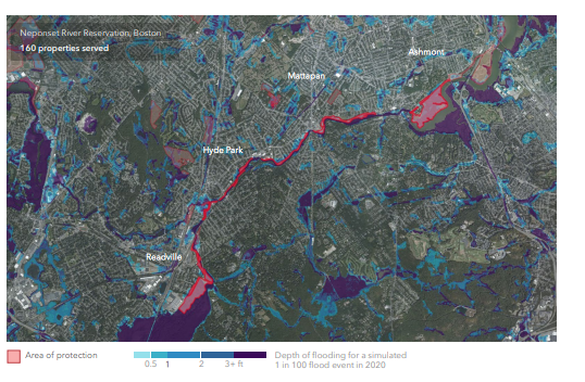
I worked with First Street Foundation to create the first national adaptation database and spatialized buyout dataset. This required the research and understanding the relationship between federal, state and local flood protection policies, the development of research methods, writing for public-facing reports, communicating with multiple stakeholders and utilizing ArcGIS, QGIS, Python and SQL. This data was used to inform First Street's hydrodynamic flood model, First Street's Flood Factor tool and API, as well as to further the research and understanding of flood impacts in the United States.
Click here to check out the National Flood Assessment and First Street.


